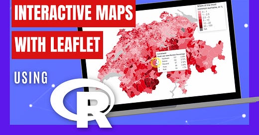
How to FULLY Customize Leaflet Maps using R programming
Reproducing an official Swiss map of the top surnames by commune with Leaflet
Would you like to know how to customize interactive maps using Leaflet with R programming?
In this new YouTube video I show you how to fully customize your leaflet maps. As an example I reproduce an Swiss official choropleth map of Switzerland showing the top 5 most common surnames by commune.
You will learn how to:
Search and download official Swiss data.
Access official Swiss geographic data.
Fully customize the Leaflet map, such as:
adding anything in tooltips.
customizing the legend.
controlling zooming and map limits.
creating an empty background.
Check out the video now:


