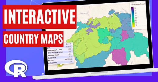
Interactive Country Maps with R
Learn how to create Interactive Maps of any European Country using R programming
Would you like to learn how to create interactive maps of any European country at a district level using R?
In this new YouTube video I show you how to map Switzerland at a regional level using Eurostat geodata. But these steps can be used for any European country.
You will learn how to:
Get counties/provinces/districts level data from any country in Europe.
Join your own dataset to the geographic dataset.
Build an interactive map with just 1 line of code.
Create an interactive slider to compare two maps.
Synchronize multiple interactive maps together.
Check out the video now:


